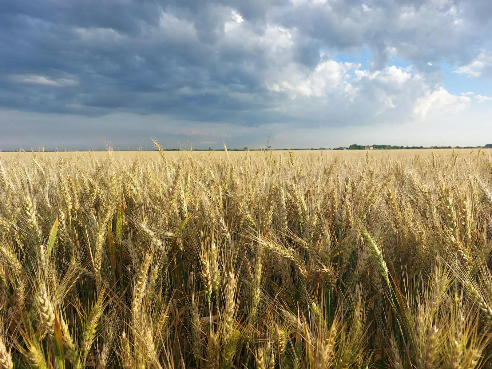
Ag-Weather API
Access agriculture-focused weather and land-surface data from the ERA5 reanalysis, and satellite/radar based precipitation datasets with consistent global coverage at 9 KM resolution.
Browse forecast and historical ag-weather endpoints with agriculture-specific weather and land-surface variables.
- Covers agriculture-specific weather fields.
- Includes historical and forecast use cases.
- Supports crop, soil, and field operations planning.
Advantages
Global Coverage: Retrieve agriculture-relevant weather and soil fields for locations worldwide.
High Precision and Accuracy: Products are backed by ERA5 reanalysis, and satellite/radar inputs with broad data assimilation.
Historical and Forecast Coverage: Supports both historical ag-weather retrieval and 8-day forecast planning.
Frequently Asked Questions
How is reference evapotranspiration calculated?
Our API uses an updated Penman-Monteith calculation based on the FAO56 methodology, with improvements that better estimate ET0 in hot and humid conditions.
Allen et al. (1998), FAO Irrigation and Drainage Paper No. 56Available APIs
- Historical Ag-Weather API: hourly and daily historical agriculture-focused weather fields.
- Ag-Weather Forecast API: 8-day forecast coverage for agriculture planning and model inputs.
Available Fields
| Field | Granularity | Sources |
|---|---|---|
| 2m temperature average | daily, hourly | Global/regional models, ERA5 |
| Skin / surface temperature (avg, max, min) | daily, hourly | Global/regional models, ERA5 |
| Soil temperature layers (0-10, 10-40, 40-100, 100-200 cm) | daily, hourly | Global/regional models, ERA5 |
| Soil moisture layers (0-10, 10-40, 40-100, 100-200 cm) | daily, hourly | Global/regional models, ERA5 |
| Volumetric soil moisture layers (0-10, 10-40, 40-100, 100-200 cm) | daily, hourly | Global/regional models, ERA5 |
| Average pressure | daily, hourly | Global/regional models, ERA5 |
| Specific humidity | daily, hourly | Global/regional models, ERA5 |
| 10m wind speed average | daily, hourly | Global/regional models, ERA5 |
| Precipitation | daily, hourly | Global/regional models, ERA5 |
| Probability of precipitation | daily | Global/regional models, ERA5 |
| Evapotranspiration | daily, hourly | Global/regional models, ERA5 |
| Downward shortwave radiation flux (avg, max, net) | daily, hourly | Global/regional models, ERA5 |
| Downward longwave radiation flux (avg, max, net) | daily, hourly | Global/regional models, ERA5 |
| Bulk soil density | daily, hourly | Global/regional models, ERA5 |
Location Retrieval Methods
- Latitude / longitude